Bad Schwartau night lights from space
Night Light of Bad Schwartau (Schleswig-Holstein) from space (Germany) Src. Average luminocity for 10x10km area is 29.1746% and for 50x50km: 4.3865%.
Analysis of Bad Schwartau night lights 2016
Square area 10x10 km:
 5.16%
5.16%90-99
5.16%80-89
3.04%70-79
1.72%60-69
4.5%50-59
2.38%40-49
5.03%30-39
3.17%20-29
8.47%10-19
29.23%0-9
32.14%Square area 50x50 km:
0.7%90-99
0.82%80-89
0.34%70-79
0.35%60-69
0.51%50-59
0.52%40-49
0.69%30-39
0.5%20-29
1.1%10-19
3.22%0-9
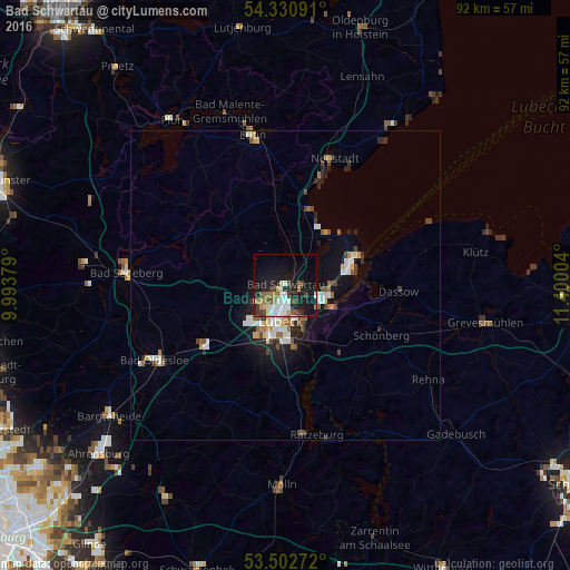
91.23%Clear (daylight) street map image can be seen on geolist.org.
Map coordinates:
54° 19' 51.3" North, 9° 59' 37.6" East
53° 55' 7.9" North, 10° 41' 48.9" East
53° 30' 9.8" North, 11° 24' 0.1" East
Some cities around Bad Schwartau sort by population:
• Lübeck
5.6 km =3.5 mi,  186°
186°
• Stockelsdorf
4.4 km =2.7 mi,  227°
227°
• Ratekau
4.2 km =2.6 mi,  34°
34°
• Travemünde
12.4 km =7.7 mi,  66°
66°
• Scharbeutz
13.2 km =8.2 mi,  15°
15°
• Timmendorfer Strand
10 km =6.2 mi, 31°
• Ahrensbök
12.8 km =8 mi,  321°
321°
• Reinfeld
16.6 km =10.3 mi, 234°
2953347 (p: 19,722)
Sources (retrieved 2019-11-25):
» Earth at Night: Flat Maps 2012, 2016