Luzern night lights from space
Night Light of Luzern (Lucerne) from space (Switzerland) Src. Average luminocity for 10x10km area is 45.4077% and for 50x50km: 6.9808%.
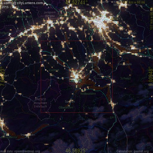
Analysis of Luzern night lights 2016
Square area 10x10 km:
 5.82%
5.82%90-99
8.38%80-89
6.53%70-79
5.4%60-69
6.53%50-59
7.39%40-49
7.39%30-39
7.95%20-29
15.77%10-19
25.57%0-9
3.27%Square area 50x50 km:
0.42%90-99
0.66%80-89
0.53%70-79
0.84%60-69
1.28%50-59
1.22%40-49
1.34%30-39
1.31%20-29
1.82%10-19
4.16%0-9
86.43%Clear (daylight) street map image can be seen on geolist.org.
Map coordinates:
47° 31' 38.7" North, 7° 36' 11.6" East
47° 3' 1.7" North, 8° 18' 22.9" East
46° 34' 9.3" North, 9° 0' 34.1" East
Some cities around Luzern sort by population:
• Emmen
4 km =2.5 mi,  320°
320°
• Kriens
2.7 km =1.7 mi,  216°
216°
• Littau
3.3 km =2.1 mi,  269°
269°
• Horw
3.7 km =2.3 mi,  176°
176°
• Ebikon
4.1 km =2.5 mi,  38°
38°
• Meggen
5.2 km =3.2 mi,  94°
94°
• Adligenswil
4.5 km =2.8 mi,  68°
68°
• Buchrain
6 km =3.7 mi,  31°
31°
2659811 (p: 57,066)
Sources (retrieved 2019-11-25):
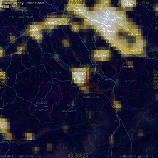
» NASA, Earths city lights 1995
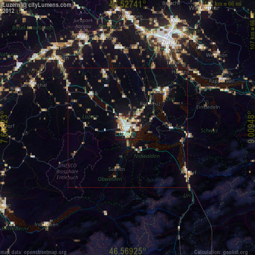
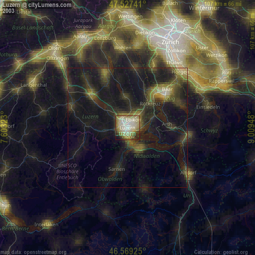
» NASA city lights 2003
» Earth at Night: Flat Maps 2012, 2016