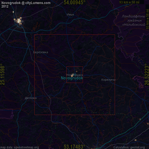
Novogrudok night lights from space
Night Light of Novogrudok (Grodnenskaya) from space (Belarus) Src. Average luminocity for 10x10km area is 4.2449% and for 50x50km: 0.1908%.
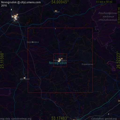
Analysis of Novogrudok night lights 2016
Square area 10x10 km:
 0%
0%90-99
0.25%80-89
0.76%70-79
1.01%60-69
1.14%50-59
1.39%40-49
1.01%30-39
0%20-29
0%10-19
0%0-9
94.44%Square area 50x50 km:
0%90-99
0.01%80-89
0.03%70-79
0.04%60-69
0.05%50-59
0.06%40-49
0.06%30-39
0.02%20-29
0%10-19
0%0-9
99.74%Clear (daylight) street map image can be seen on geolist.org.
Map coordinates:
54° 0' 34" North, 25° 6' 57.5" East
53° 35' 39.1" North, 25° 49' 8.8" East
53° 10' 29.4" North, 26° 31' 20" East
Some cities around Novogrudok sort by population:
• Baranovichi
52.9 km =32.9 mi,  165°
165°
• Lida
46.9 km =29.1 mi,  313°
313°
• Slonim
65.5 km =40.7 mi,  210°
210°
• Stowbtsy
62.4 km =38.8 mi,  101°
101°
• Byarozawka
25.7 km =16 mi,  304°
304°
• Iwye
37.5 km =23.3 mi,  355°
355°
• Dyatlovo
30.9 km =19.2 mi,  241°
241°
• Karelichy
21.5 km =13.4 mi, 98°
624785 (p: 30,748)
Sources (retrieved 2019-11-25):
» Earth at Night: Flat Maps 2012, 2016