Roeselare night lights from space
Night Light of Roeselare (Flanders) from space (Belgium) Src. Average luminocity for 10x10km area is 60.1527% and for 50x50km: 30.1013%.
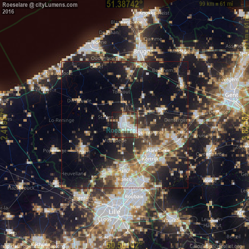
Analysis of Roeselare night lights 2016
Square area 10x10 km:
 18.07%
90-99
16.81%80-89
4.34%70-79
2.8%60-69
4.9%50-59
6.86%40-49
8.12%30-39
11.06%20-29
16.39%10-19
10.64%0-9
0%Square area 50x50 km:
4.35%90-99
5.16%80-89
3.09%70-79
3.38%60-69
4.22%50-59
4.95%40-49
4.36%30-39
5.06%20-29
10.19%10-19
19.27%0-9
35.98%Clear (daylight) street map image can be seen on geolist.org.
Map coordinates:
51° 23' 14.7" North, 2° 25' 10.5" East
50° 56' 47.5" North, 3° 7' 21.7" East
50° 30' 5.1" North, 3° 49' 33" East
Some cities around Roeselare sort by population:
• Izegem
7.3 km =4.5 mi,  119°
119°
• Staden
8.2 km =5.1 mi,  292°
292°
• Moorslede
7.4 km =4.6 mi,  215°
215°
• Ingelmunster
9.8 km =6.1 mi,  107°
107°
• Hooglede
4.9 km =3 mi,  326°
326°
• Ardooie
6.2 km =3.9 mi,  58°
58°
• Ledegem
9.9 km =6.2 mi,  179°
179°
• Lichtervelde
9.8 km =6.1 mi,  11°
11°
2787889 (p: 56,016)
Sources (retrieved 2019-11-25):
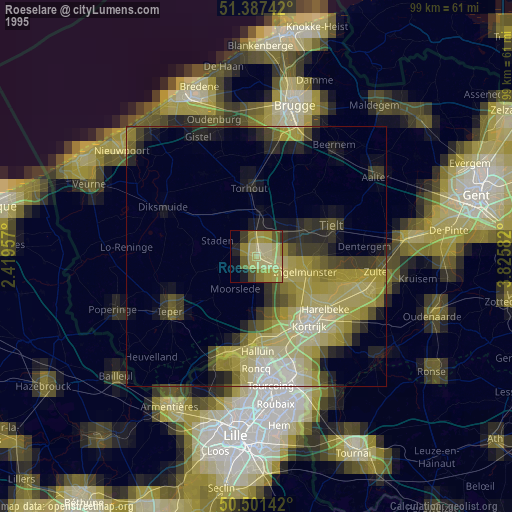
» NASA, Earths city lights 1995
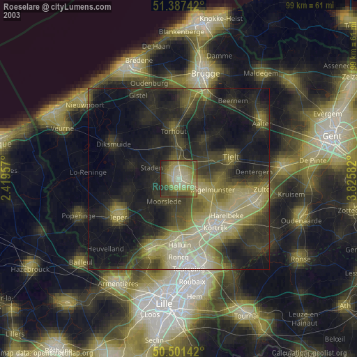
» NASA city lights 2003
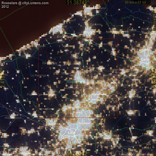
» Earth at Night: Flat Maps 2012, 2016