Pećigrad night lights from space
Night Light of Pećigrad (Federation of B&H) from space (Bosnia and Herzegovina) Src. Average luminocity for 10x10km area is 0.0848% and for 50x50km: 0.9246%.
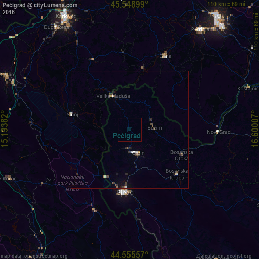
Analysis of Pećigrad night lights 2016
Square area 10x10 km:
 0%
0%90-99
0%80-89
0%70-79
0%60-69
0%50-59
0%40-49
0%30-39
0%20-29
0%10-19
0%0-9
100%Square area 50x50 km:
0.07%90-99
0.17%80-89
0.04%70-79
0.04%60-69
0.14%50-59
0.05%40-49
0.27%30-39
0.23%20-29
0.34%10-19
0.35%0-9
98.29%Clear (daylight) street map image can be seen on geolist.org.
Map coordinates:
45° 32' 56.4" North, 15° 11' 37.8" East
45° 3' 16" North, 15° 53' 49" East
44° 33' 20.1" North, 16° 36' 0.3" East
Some cities around Pećigrad sort by population:
• Cazin
10.4 km =6.5 mi,  159°
159°
• Todorovo
4.6 km =2.9 mi,  35°
35°
• Bužim
10.7 km =6.6 mi,  90°
90°
• Tržačka Raštela
12.4 km =7.7 mi,  225°
225°
• Varoška Rijeka
10.3 km =6.4 mi,  67°
67°
• Mala Kladuša
9.6 km =6 mi,  338°
338°
• Ćoralići
5.6 km =3.5 mi,  200°
200°
• Šturlić
9.4 km =5.8 mi,  276°
276°
3193542 (p: 6,514)
Sources (retrieved 2019-11-25):
» Earth at Night: Flat Maps 2012, 2016