Fojnica night lights from space
Night Light of Fojnica (Federation of B&H) from space (Bosnia and Herzegovina) Src. Average luminocity for 10x10km area is 1.8857% and for 50x50km: 2.4741%.
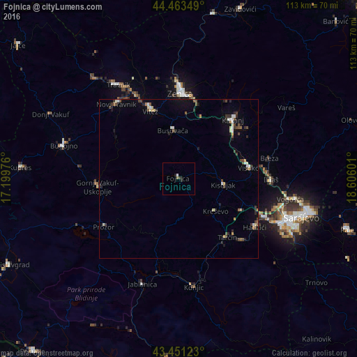
Analysis of Fojnica night lights 2016
Square area 10x10 km:
 0%
0%90-99
0.63%80-89
0%70-79
0%60-69
0.63%50-59
0%40-49
0%30-39
0.63%20-29
1.27%10-19
0.63%0-9
96.19%Square area 50x50 km:
0.19%90-99
0.41%80-89
0.29%70-79
0.17%60-69
0.11%50-59
0.31%40-49
0.65%30-39
0.34%20-29
0.6%10-19
0.98%0-9
95.95%Clear (daylight) street map image can be seen on geolist.org.
Map coordinates:
44° 27' 48.6" North, 17° 11' 59.1" East
43° 57' 34.3" North, 17° 54' 10.4" East
43° 27' 4.4" North, 18° 36' 21.6" East
Some cities around Fojnica sort by population:
• Zenica
26.9 km =16.7 mi,  0°
0°
• Visoko
22.3 km =13.9 mi,  81°
81°
• Kakanj
26.1 km =16.2 mi,  42°
42°
• Kiseljak
14.4 km =8.9 mi,  97°
97°
• Vitez
23.5 km =14.6 mi,  337°
337°
• Gornji Vakuf
25.3 km =15.7 mi,  264°
264°
• Gromiljak
12.2 km =7.6 mi,  86°
86°
• Kačuni
12 km =7.5 mi,  13°
13°
3200829 (p: 8,244)
Sources (retrieved 2019-11-25):
» Earth at Night: Flat Maps 2012, 2016