Noratus night lights from space
Night Light of Noratus (Gegharkunik) from space (Armenia) Src. Average luminocity for 10x10km area is 0.8605% and for 50x50km: 0.101%.
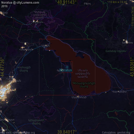
Analysis of Noratus night lights 2016
Square area 10x10 km:
 0%
0%90-99
0%80-89
0%70-79
0%60-69
0.34%50-59
0%40-49
0%30-39
0.34%20-29
1.7%10-19
0.34%0-9
97.28%Square area 50x50 km:
0%90-99
0%80-89
0%70-79
0.01%60-69
0.02%50-59
0.03%40-49
0.02%30-39
0.05%20-29
0.09%10-19
0.02%0-9
99.76%Clear (daylight) street map image can be seen on geolist.org.
Map coordinates:
40° 54' 41.1" North, 44° 28' 38.5" East
40° 22' 40.5" North, 45° 10' 49.7" East
39° 50' 24.6" North, 45° 53' 1" East
Some cities around Noratus sort by population:
• Gavarr
5.5 km =3.4 mi,  240°
240°
• Sevan
27.6 km =17.1 mi,  312°
312°
• Martuni
28.6 km =17.8 mi,  158°
158°
• Vardenik
35.1 km =21.8 mi,  140°
140°
• Nerk’in Getashen
27.4 km =17 mi, 163°
• Sarukhan
10.5 km =6.5 mi,  203°
203°
• Chambarak
28.4 km =17.6 mi,  31°
31°
• Karanlukh
31.8 km =19.8 mi, 163°
616361 (p: 5,426)
Sources (retrieved 2019-11-25):
» Earth at Night: Flat Maps 2012, 2016