Stoney Ground night lights from space
Night Light of Stoney Ground from space (Anguilla) Src. Average luminocity for 10x10km area is 34.9978% and for 50x50km: 5.8189%.
Analysis of Stoney Ground night lights 2016
Square area 10x10 km:
 1.52%
1.52%90-99
1.3%80-89
6.49%70-79
8.01%60-69
14.72%50-59
2.81%40-49
1.08%30-39
6.71%20-29
3.03%10-19
38.96%0-9
15.37%Square area 50x50 km:
0.53%90-99
0.58%80-89
0.85%70-79
1.05%60-69
1.59%50-59
0.42%40-49
0.32%30-39
0.65%20-29
1.02%10-19
5.69%0-9
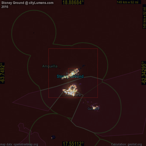
87.3%Clear (daylight) street map image can be seen on geolist.org.
Map coordinates:
18° 53' 12.6" North, 63° 44' 57.1" West
18° 13' 12.9" North, 63° 2' 45.9" West
17° 33' 4" North, 62° 20' 34.6" West
Some cities around Stoney Ground sort by population:
• The Valley
1.3 km =0.8 mi,  253°
253°
• East End Village
5.1 km =3.2 mi,  73°
73°
• North Hill Village
3.8 km =2.4 mi,  244°
244°
• Sandy Hill
3.5 km =2.2 mi,  88°
88°
• George Hill
3.2 km =2 mi,  222°
222°
• Farrington
2.6 km =1.6 mi,  103°
103°
• The Quarter
1.4 km =0.9 mi,  161°
161°
• North Side
1 km =0.6 mi,  12°
12°
3573380 (p: 0)
Sources (retrieved 2019-11-25):
» Earth at Night: Flat Maps 2012, 2016