Gazojak night lights from space
Night Light of Gazojak (Lebap) from space (Turkmenistan) Src. Average luminocity for 10x10km area is 8.6737% and for 50x50km: 0.6587%.
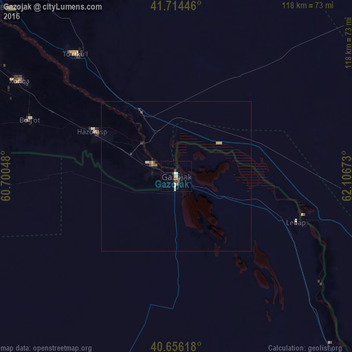
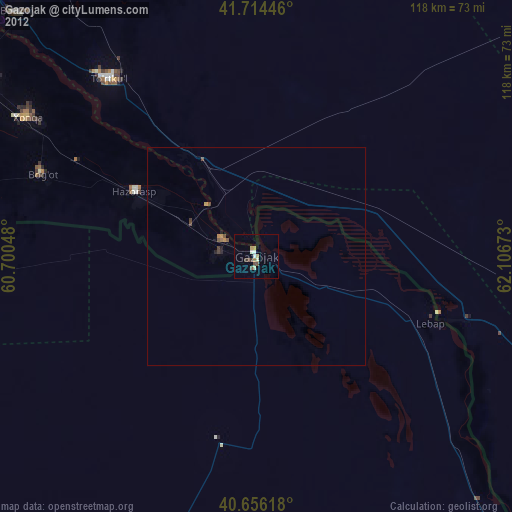
Analysis of Gazojak night lights 2016
Square area 10x10 km:
 0.97%
0.97%90-99
1.62%80-89
1.3%70-79
0.65%60-69
0.65%50-59
1.3%40-49
2.44%30-39
0.81%20-29
0.97%10-19
0.49%0-9
88.8%Square area 50x50 km:
0.04%90-99
0.09%80-89
0.15%70-79
0.08%60-69
0.04%50-59
0.12%40-49
0.15%30-39
0.09%20-29
0.1%10-19
0.07%0-9
99.07%Clear (daylight) street map image can be seen on geolist.org.
Map coordinates:
41° 42' 52.1" North, 60° 42' 1.7" East
41° 11' 14.9" North, 61° 24' 13" East
40° 39' 22.2" North, 62° 6' 24.2" East
Some cities around Gazojak sort by population:
• Urganch, UZ
75.9 km =47.2 mi,  302°
302°
• Khiwa, UZ
89.4 km =55.6 mi,  283°
283°
• Beruniy, UZ
78 km =48.5 mi,  315°
315°
• Novyy Turtkul’, UZ
51.6 km =32.1 mi, 321°
• Gurlan, UZ
111.5 km =69.3 mi,  310°
310°
• Showot, UZ
105.5 km =65.6 mi, 299°
• Hazorasp, UZ
31.2 km =19.4 mi, 298°
• Qŭshkŭpir, UZ
96.4 km =59.9 mi,  293°
293°
1514792 (p: 21,021)
Sources (retrieved 2019-11-25):
» Earth at Night: Flat Maps 2012, 2016