Soná night lights from space
Night Light of Soná (Veraguas) from space (Panama) Src. Average luminocity for 10x10km area is 3.7624% and for 50x50km: 0.2258%.
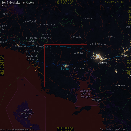
Analysis of Soná night lights 2016
Square area 10x10 km:
 0%
0%90-99
0%80-89
0.41%70-79
1.24%60-69
1.45%50-59
1.03%40-49
0%30-39
0.83%20-29
0.83%10-19
0.83%0-9
93.39%Square area 50x50 km:
0%90-99
0%80-89
0.02%70-79
0.05%60-69
0.06%50-59
0.08%40-49
0.07%30-39
0.05%20-29
0.05%10-19
0.07%0-9
99.56%Clear (daylight) street map image can be seen on geolist.org.
Map coordinates:
8° 42' 28.4" North, 82° 1' 29.1" West
8° 0' 44" North, 81° 19' 17.9" West
7° 18' 55.4" North, 80° 37' 6.6" West
Some cities around Soná sort by population:
• Santiago de Veraguas
38.5 km =23.9 mi,  75°
75°
• Pocrí
89.2 km =55.4 mi,  72°
72°
• Monagrillo
97.4 km =60.5 mi,  91°
91°
• Aguadulce
89.1 km =55.4 mi, 73°
• Canto del Llano
41.3 km =25.7 mi, 72°
• La Arena
94.4 km =58.7 mi, 93°
• Natá
95.2 km =59.2 mi, 68°
• Buabidi
66 km =41 mi,  321°
321°
3700888 (p: 7,669)
Sources (retrieved 2019-11-25):
» Earth at Night: Flat Maps 2012, 2016