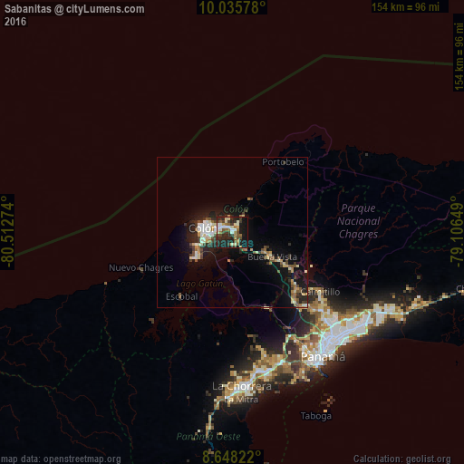
Sabanitas night lights from space
Night Light of Sabanitas (Colón) from space (Panama) Src. Average luminocity for 10x10km area is 43.3398% and for 50x50km: 8.0498%.
Analysis of Sabanitas night lights 2016
Square area 10x10 km:
 4.33%
4.33%90-99
12.34%80-89
3.68%70-79
1.73%60-69
7.58%50-59
6.28%40-49
7.36%30-39
8.87%20-29
18.61%10-19
26.19%0-9
3.03%Square area 50x50 km:
0.77%90-99
1.61%80-89
0.84%70-79
0.61%60-69
0.97%50-59
1.14%40-49
1.16%30-39
1.38%20-29
2.55%10-19
6.82%0-9
82.14%Clear (daylight) street map image can be seen on geolist.org.
Map coordinates:
10° 2' 8.8" North, 80° 30' 45.9" West
9° 20' 33.7" North, 79° 48' 34.6" West
8° 38' 53.6" North, 79° 6' 23.4" West
Some cities around Sabanitas sort by population:
• Colón
10 km =6.2 mi,  277°
277°
• Chilibre
29.7 km =18.5 mi,  135°
135°
• Cativá
3.3 km =2.1 mi,  311°
311°
• Alcalde Díaz
37.2 km =23.1 mi,  131°
131°
• Villa Unida
26.5 km =16.5 mi, 130°
• San Vicente
34.4 km =21.4 mi, 137°
• Puerto Escondido
34.8 km =21.6 mi,  241°
241°
• Puerto Pilón
2.9 km =1.8 mi,  38°
38°
3701682 (p: 15,577)
Sources (retrieved 2019-11-25):
» Earth at Night: Flat Maps 2012, 2016