Natá night lights from space
Night Light of Natá (Coclé) from space (Panama) Src. Average luminocity for 10x10km area is 4.814% and for 50x50km: 3.7635%.
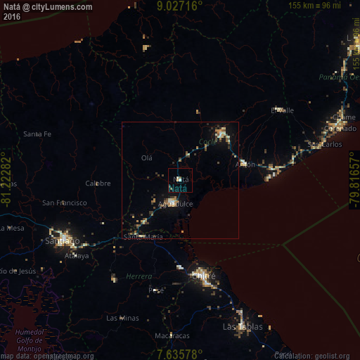
Analysis of Natá night lights 2016
Square area 10x10 km:
 0.21%
0.21%90-99
1.45%80-89
0%70-79
0.83%60-69
0%50-59
1.65%40-49
0%30-39
0.83%20-29
0%10-19
0.41%0-9
94.63%Square area 50x50 km:
0.1%90-99
0.47%80-89
0.52%70-79
0.41%60-69
0.61%50-59
0.56%40-49
0.43%30-39
1.19%20-29
0.54%10-19
1.75%0-9
93.42%Clear (daylight) street map image can be seen on geolist.org.
Map coordinates:
9° 1' 37.8" North, 81° 13' 22.2" West
8° 19' 55.5" North, 80° 31' 10.9" West
7° 38' 8.8" North, 79° 48' 59.7" West
Some cities around Natá sort by population:
• Penonomé
27.4 km =17 mi,  40°
40°
• Pocrí
8.9 km =5.5 mi,  202°
202°
• Monagrillo
40 km =24.9 mi,  166°
166°
• Llano Bonito
41.2 km =25.6 mi,  163°
163°
• Aguadulce
10.4 km =6.5 mi, 196°
• La Arena
41 km =25.5 mi, 171°
• Antón
29.4 km =18.3 mi,  75°
75°
• Río Hato
39.2 km =24.4 mi, 82°
3703938 (p: 5,470)
Sources (retrieved 2019-11-25):
» Earth at Night: Flat Maps 2012, 2016