Puttalam night lights from space
Night Light of Puttalam (North Western) from space (Sri Lanka) Src. Average luminocity for 10x10km area is 18.2707% and for 50x50km: 2.6904%.
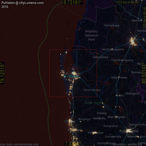
Analysis of Puttalam night lights 2016
Square area 10x10 km:
 0%
0%90-99
1.65%80-89
1.65%70-79
3.1%60-69
4.96%50-59
1.65%40-49
1.65%30-39
6.4%20-29
6.2%10-19
12.81%0-9
59.92%Square area 50x50 km:
0%90-99
0.17%80-89
0.2%70-79
0.28%60-69
0.53%50-59
0.31%40-49
0.64%30-39
1.03%20-29
1.07%10-19
1.27%0-9
94.5%Clear (daylight) street map image can be seen on geolist.org.
Map coordinates:
8° 43' 54.5" North, 79° 7' 30.6" East
8° 2' 10.3" North, 79° 49' 41.9" East
7° 20' 21.8" North, 80° 31' 53.1" East
Some cities around Puttalam sort by population:
• Negombo
92.1 km =57.2 mi,  179°
179°
• Katunayaka
96.5 km =60 mi, 176°
• Dambulla
92.8 km =57.7 mi,  102°
102°
• Anuradhapura
71.3 km =44.3 mi,  64°
64°
• Kurunegala
85.5 km =53.1 mi,  135°
135°
• Chilaw
51.3 km =31.9 mi, 184°
• Minuwangoda
97.7 km =60.7 mi,  171°
171°
• Kuliyapitiya
67.3 km =41.8 mi,  159°
159°
1229293 (p: 45,661)
Sources (retrieved 2019-11-25):
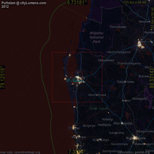
» Earth at Night: Flat Maps 2012, 2016