Dambulla night lights from space
Night Light of Dambulla (Central) from space (Sri Lanka) Src. Average luminocity for 10x10km area is 2.1343% and for 50x50km: 0.283%.
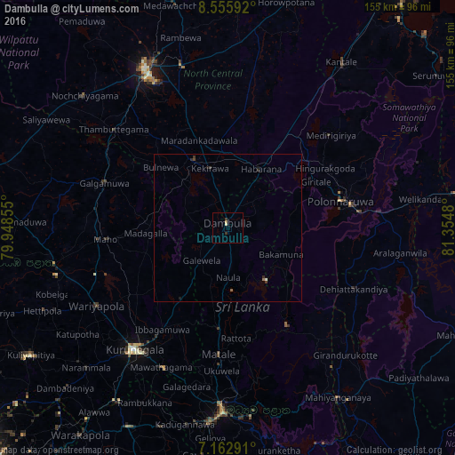
Analysis of Dambulla night lights 2016
Square area 10x10 km:
 0%
0%90-99
0.83%80-89
0.83%70-79
0%60-69
0%50-59
0%40-49
0%30-39
1.65%20-29
0%10-19
0%0-9
96.69%Square area 50x50 km:
0.02%90-99
0.05%80-89
0.03%70-79
0%60-69
0%50-59
0.07%40-49
0.03%30-39
0.17%20-29
0.12%10-19
0.08%0-9
99.43%Clear (daylight) street map image can be seen on geolist.org.
Map coordinates:
8° 33' 21.3" North, 79° 56' 54.8" East
7° 51' 36" North, 80° 39' 6" East
7° 9' 46.5" North, 81° 21' 17.3" East
Some cities around Dambulla sort by population:
• Kandy
63.3 km =39.3 mi,  181°
181°
• Anuradhapura
56.7 km =35.2 mi,  332°
332°
• Matale
43.5 km =27 mi, 184°
• Kurunegala
52.2 km =32.4 mi,  216°
216°
• Gampola
77.9 km =48.4 mi,  186°
186°
• Kegalle
75.6 km =47 mi,  206°
206°
• Polonnaruwa
39.7 km =24.7 mi,  77°
77°
• Kuliyapitiya
80.2 km =49.8 mi,  237°
237°
1248749 (p: 66,716)
Sources (retrieved 2019-11-25):
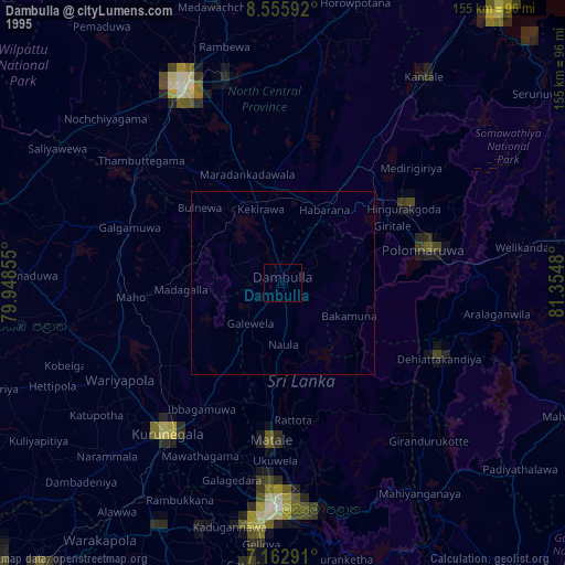
» NASA, Earths city lights 1995
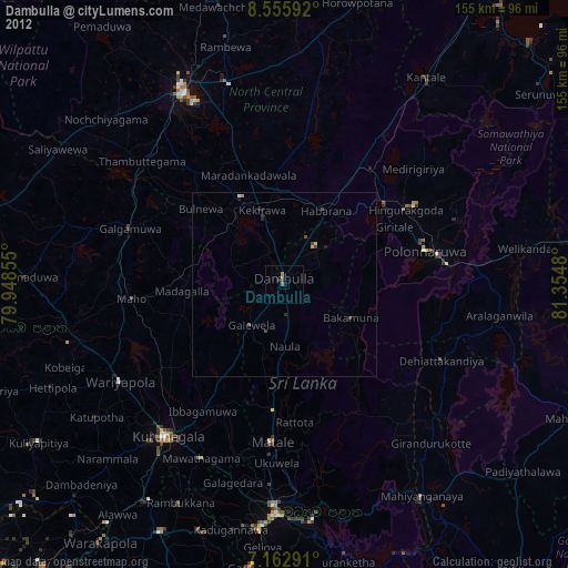
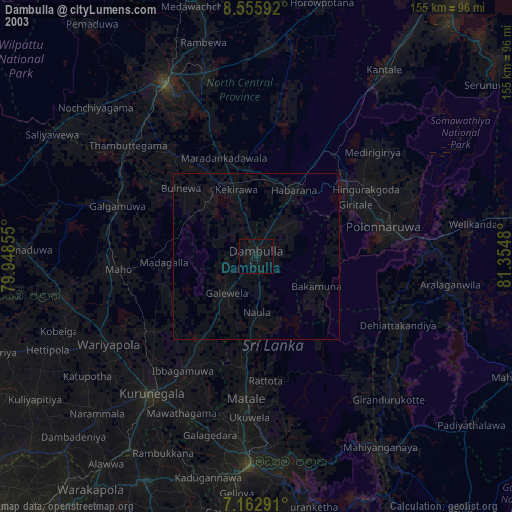
» NASA city lights 2003
» Earth at Night: Flat Maps 2012, 2016