Chilaw night lights from space
Night Light of Chilaw (North Western) from space (Sri Lanka) Src. Average luminocity for 10x10km area is 18.6234% and for 50x50km: 3.0458%.
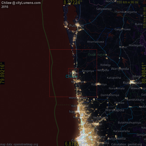
Analysis of Chilaw night lights 2016
Square area 10x10 km:
 0.43%
0.43%90-99
2.16%80-89
1.3%70-79
3.68%60-69
1.08%50-59
3.25%40-49
5.63%30-39
4.98%20-29
4.33%10-19
12.34%0-9
60.82%Square area 50x50 km:
0.02%90-99
0.12%80-89
0.2%70-79
0.37%60-69
0.43%50-59
0.55%40-49
0.78%30-39
1.31%20-29
0.93%10-19
2.09%0-9
93.22%Clear (daylight) street map image can be seen on geolist.org.
Map coordinates:
8° 16' 20.1" North, 79° 5' 31.8" East
7° 34' 33" North, 79° 47' 43" East
6° 52' 41.9" North, 80° 29' 54.3" East
Some cities around Chilaw sort by population:
• Negombo
41.1 km =25.5 mi,  173°
173°
• Katunayaka
46.3 km =28.8 mi, 167°
• Puttalam
51.3 km =31.9 mi,  4°
4°
• Kandana
59.7 km =37.1 mi, 169°
• Ja Ela
56.8 km =35.3 mi, 169°
• Gampaha
58.3 km =36.2 mi,  158°
158°
• Minuwangoda
48.8 km =30.3 mi, 159°
• Kuliyapitiya
29.5 km =18.3 mi,  113°
113°
1249145 (p: 24,712)
Sources (retrieved 2019-11-25):
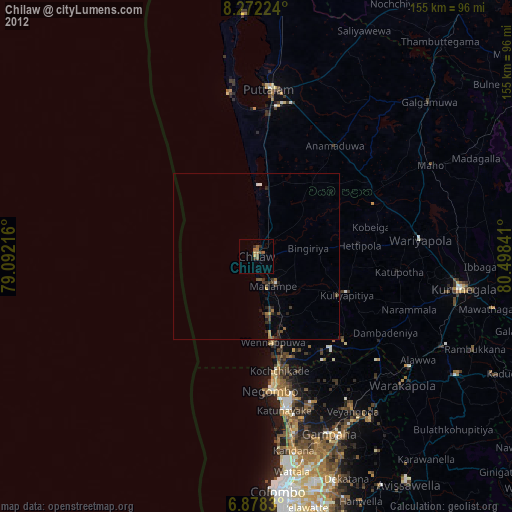
» Earth at Night: Flat Maps 2012, 2016