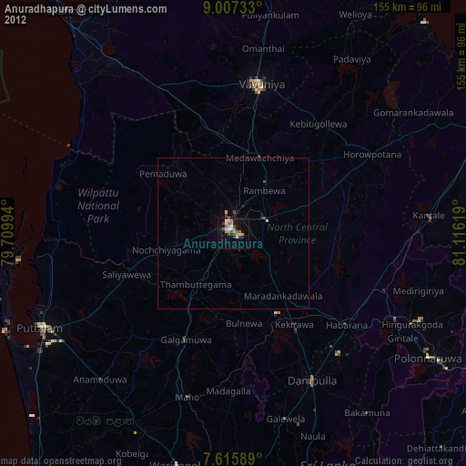
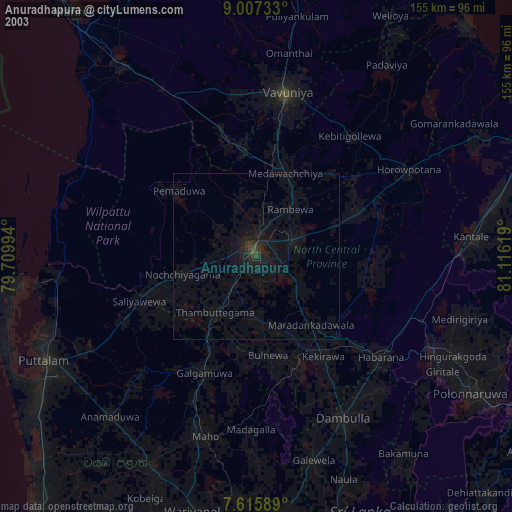
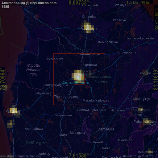
Anuradhapura night lights from space
Night Light of Anuradhapura (North Central) from space (Sri Lanka) Src. Average luminocity for 10x10km area is 26.7335% and for 50x50km: 1.6875%.

Analysis of Anuradhapura night lights 2016
Square area 10x10 km:
 0.62%
0.62%90-99
6.4%80-89
2.48%70-79
6.2%60-69
4.55%50-59
1.24%40-49
4.55%30-39
3.1%20-29
7.44%10-19
22.93%0-9
40.5%Square area 50x50 km:
0.03%90-99
0.31%80-89
0.1%70-79
0.3%60-69
0.29%50-59
0.08%40-49
0.42%30-39
0.31%20-29
0.44%10-19
1.24%0-9
96.48%Clear (daylight) street map image can be seen on geolist.org.
Map coordinates:
9° 0' 26.4" North, 79° 42' 35.8" East
8° 18' 44" North, 80° 24' 47" East
7° 36' 57.2" North, 81° 6' 58.3" East
Some cities around Anuradhapura sort by population:
• Trincomalee
94.5 km =58.7 mi,  71°
71°
• Dambulla
56.7 km =35.2 mi,  152°
152°
• Vavuniya
49.7 km =30.9 mi,  10°
10°
• Puttalam
71.3 km =44.3 mi,  244°
244°
• Matale
96.4 km =59.9 mi,  166°
166°
• Kurunegala
92.2 km =57.3 mi,  183°
183°
• Polonnaruwa
77 km =47.8 mi,  122°
122°
• Kuliyapitiya
102.4 km =63.6 mi,  203°
203°
1251081 (p: 60,943)
Sources (retrieved 2019-11-25):
» NASA, Earths city lights 1995
» NASA city lights 2003
» Earth at Night: Flat Maps 2012, 2016