West Bay night lights from space
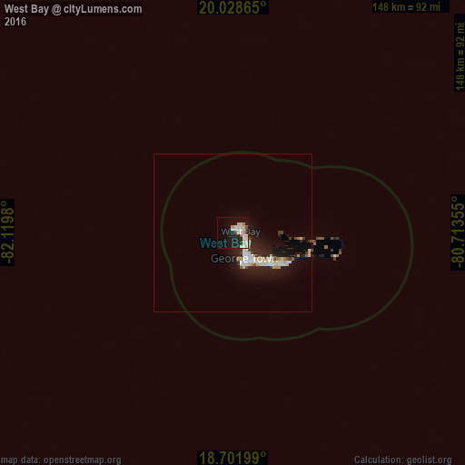
Night Light of West Bay from space (Cayman Islands) Src. Average luminocity for 10x10km area is 28.1446% and for 50x50km: 4.9035%.
Analysis of West Bay night lights 2016
Square area 10x10 km:
 6.4%
6.4%90-99
5.58%80-89
7.85%70-79
1.65%60-69
1.03%50-59
0.83%40-49
1.45%30-39
0%20-29
6.4%10-19
23.35%0-9
45.45%Square area 50x50 km:
0.71%90-99
0.99%80-89
1.09%70-79
0.23%60-69
0.2%50-59
0.28%40-49
0.22%30-39
0.45%20-29
1.61%10-19
5.28%0-9
88.94%Clear (daylight) street map image can be seen on geolist.org.
Map coordinates:
20° 1' 43.1" North, 82° 7' 11.3" West
19° 22' 0" North, 81° 25' 0" West
18° 42' 7.2" North, 80° 42' 48.8" West
Some cities around West Bay sort by population:
• Trinidad, CU
309.1 km =192.1 mi,  28°
28°
• George Town
9.9 km =6.2 mi,  153°
153°
• Nueva Gerona, CU
315.3 km =195.9 mi,  332°
332°
• Bodden Town
19.8 km =12.3 mi,  120°
120°
• Topes de Collantes, CU
318.5 km =197.9 mi, 27°
• East End
32.3 km =20.1 mi,  103°
103°
• North Side
22.8 km =14.2 mi,  94°
94°
• Little Cayman
140.8 km =87.5 mi,  76°
76°
3580477 (p: 11,269)
Sources (retrieved 2019-11-25):
» Earth at Night: Flat Maps 2012, 2016