East End night lights from space
Night Light of East End from space (Cayman Islands) Src. Average luminocity for 10x10km area is 5.4697% and for 50x50km: 2.8493%.
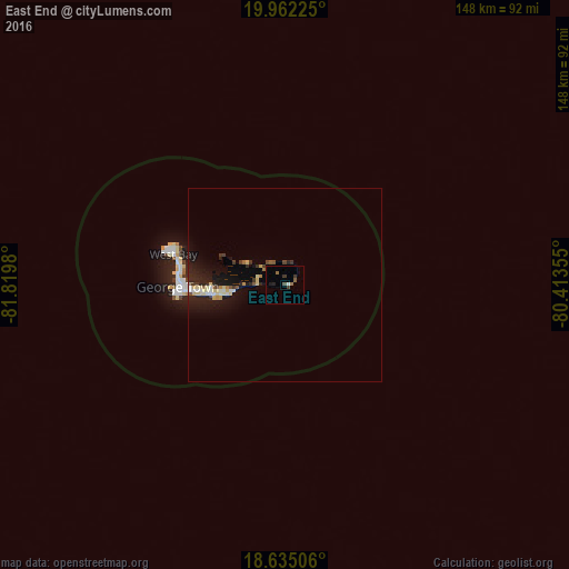
Analysis of East End night lights 2016
Square area 10x10 km:
 0%
0%90-99
0.87%80-89
0%70-79
0%60-69
1.52%50-59
0.87%40-49
1.08%30-39
2.6%20-29
1.3%10-19
0.43%0-9
91.34%Square area 50x50 km:
0.14%90-99
0.47%80-89
0.65%70-79
0.15%60-69
0.22%50-59
0.23%40-49
0.25%30-39
0.47%20-29
1.05%10-19
3.04%0-9
93.31%Clear (daylight) street map image can be seen on geolist.org.
Map coordinates:
19° 57' 44.1" North, 81° 49' 11.3" West
19° 18' 0" North, 81° 7' 0" West
18° 38' 6.2" North, 80° 24' 48.8" West
Some cities around East End sort by population:
• Trinidad, CU
302.2 km =187.8 mi,  22°
22°
• Condado, CU
315.8 km =196.2 mi, 24°
• George Town
27.1 km =16.8 mi,  266°
266°
• West Bay
32.3 km =20.1 mi,  283°
283°
• Bodden Town
14.7 km =9.1 mi,  259°
259°
• Topes de Collantes, CU
312.4 km =194.1 mi, 21°
• North Side
10.4 km =6.5 mi,  302°
302°
• Little Cayman
112.9 km =70.2 mi,  69°
69°
3580678 (p: 1,639)
Sources (retrieved 2019-11-25):
» Earth at Night: Flat Maps 2012, 2016