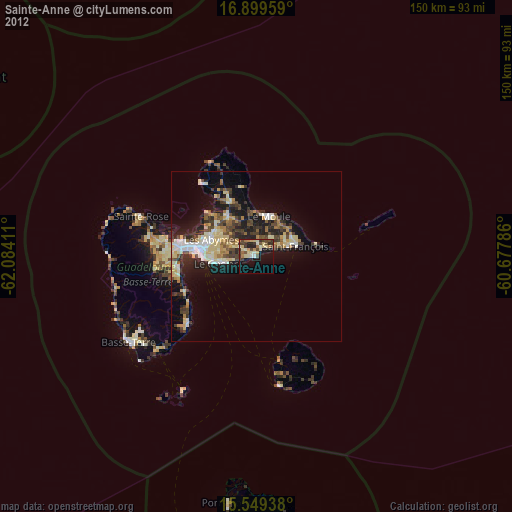
Sainte-Anne night lights from space
Night Light of Sainte-Anne (Guadeloupe) from space (Guadeloupe) Src. Average luminocity for 10x10km area is 32.4236% and for 50x50km: 14.6806%.
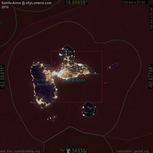
Analysis of Sainte-Anne night lights 2016
Square area 10x10 km:
 1.03%
1.03%90-99
1.03%80-89
8.06%70-79
4.55%60-69
5.37%50-59
7.44%40-49
6.2%30-39
8.68%20-29
8.06%10-19
26.86%0-9
22.73%Square area 50x50 km:
1.53%90-99
1.53%80-89
2.34%70-79
2.94%60-69
1.44%50-59
1.46%40-49
2.75%30-39
3.37%20-29
5.25%10-19
9.25%0-9
68.14%Clear (daylight) street map image can be seen on geolist.org.
Map coordinates:
16° 53' 58.5" North, 62° 5' 2.8" West
16° 13' 32.3" North, 61° 22' 51.5" West
15° 32' 57.8" North, 60° 40' 40.3" West
Some cities around Sainte-Anne sort by population:
• Les Abymes
14.3 km =8.9 mi,  291°
291°
• Baie-Mahault
22.3 km =13.9 mi,  282°
282°
• Le Gosier
12.2 km =7.6 mi,  259°
259°
• Petit-Bourg
22.8 km =14.2 mi, 260°
• Le Moule
12.3 km =7.6 mi,  17°
17°
• Pointe-à-Pitre
16.7 km =10.4 mi, 275°
• Petit-Canal
20.5 km =12.7 mi,  326°
326°
• Port-Louis
26.6 km =16.5 mi,  323°
323°
3578466 (p: 22,859)
Sources (retrieved 2019-11-25):
» Earth at Night: Flat Maps 2012, 2016