Les Abymes night lights from space
Night Light of Les Abymes (Guadeloupe) from space (Guadeloupe) Src. Average luminocity for 10x10km area is 69.1012% and for 50x50km: 17.4129%.
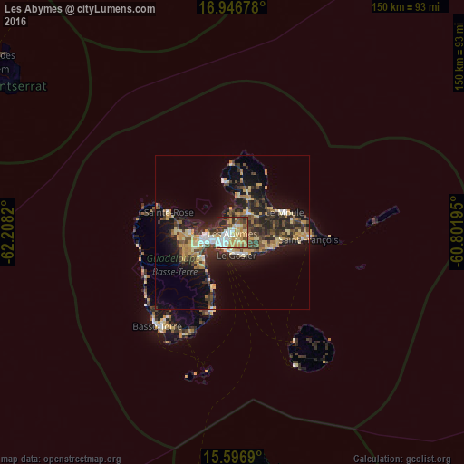

Analysis of Les Abymes night lights 2016
Square area 10x10 km:
 13.22%
90-99
13.43%80-89
15.08%70-79
19.63%60-69
4.55%50-59
7.02%40-49
9.71%30-39
5.99%20-29
8.88%10-19
2.48%0-9
0%Square area 50x50 km:
1.54%90-99
1.62%80-89
2.98%70-79
3.66%60-69
2.01%50-59
1.67%40-49
3.1%30-39
4.06%20-29
6%10-19
11.28%0-9
62.08%Clear (daylight) street map image can be seen on geolist.org.
Map coordinates:
16° 56' 48.4" North, 62° 12' 29.5" West
16° 16' 22.8" North, 61° 30' 18.3" West
15° 35' 48.8" North, 60° 48' 7" West
Some cities around Les Abymes sort by population:
• Baie-Mahault
8.6 km =5.3 mi,  265°
265°
• Le Gosier
7.5 km =4.7 mi,  170°
170°
• Petit-Bourg
12.9 km =8 mi,  225°
225°
• Sainte-Anne
14.3 km =8.9 mi,  111°
111°
• Pointe-à-Pitre
4.8 km =3 mi,  223°
223°
• Lamentin
13.5 km =8.4 mi, 268°
• Petit-Canal
12 km =7.5 mi,  9°
9°
• Port-Louis
16.3 km =10.1 mi,  350°
350°
3578959 (p: 63,058)
Sources (retrieved 2019-11-25):
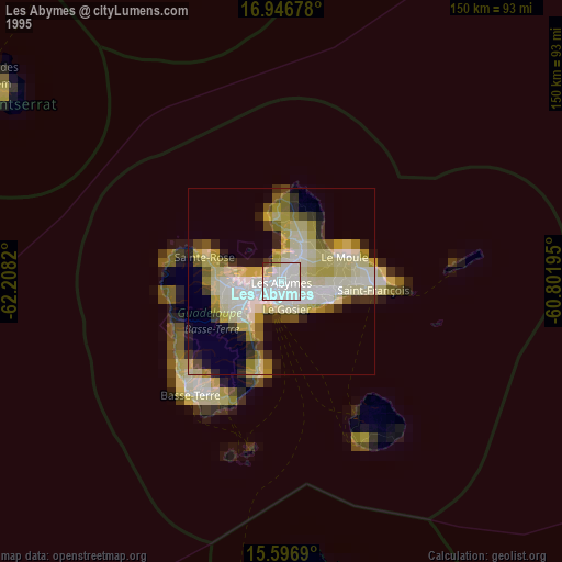
» NASA, Earths city lights 1995
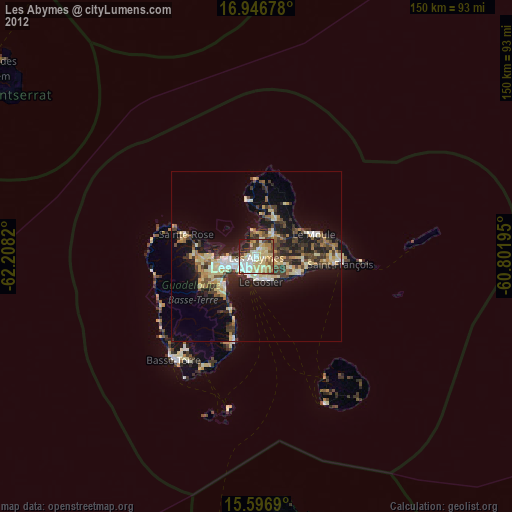
» NASA city lights 2003
» Earth at Night: Flat Maps 2012, 2016