Le Moule night lights from space
Night Light of Le Moule (Guadeloupe) from space (Guadeloupe) Src. Average luminocity for 10x10km area is 28.6529% and for 50x50km: 12.7335%.
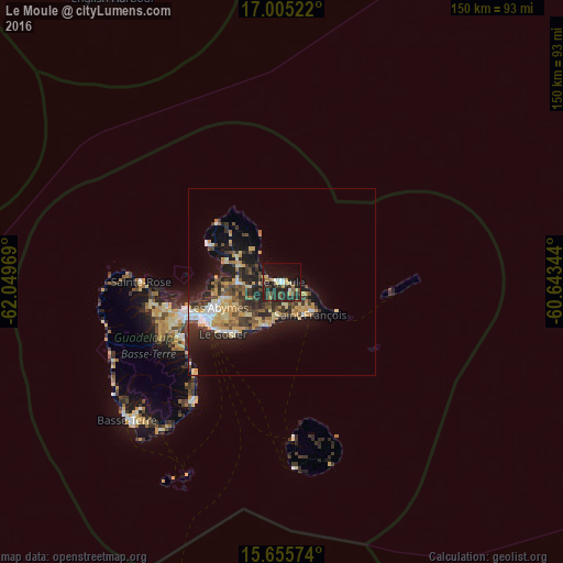
Analysis of Le Moule night lights 2016
Square area 10x10 km:
 2.89%
2.89%90-99
2.07%80-89
4.13%70-79
2.89%60-69
4.13%50-59
2.07%40-49
3.93%30-39
8.26%20-29
19.83%10-19
26.65%0-9
23.14%Square area 50x50 km:
1.22%90-99
1.16%80-89
2.12%70-79
2.59%60-69
1.33%50-59
1.33%40-49
2.41%30-39
2.94%20-29
4.72%10-19
8.53%0-9
71.64%Clear (daylight) street map image can be seen on geolist.org.
Map coordinates:
17° 0' 18.8" North, 62° 2' 58.9" West
16° 19' 53.9" North, 61° 20' 47.6" West
15° 39' 20.7" North, 60° 38' 36.4" West
Some cities around Le Moule sort by population:
• Les Abymes
18.1 km =11.2 mi,  248°
248°
• Le Gosier
21 km =13 mi,  228°
228°
• Sainte-Anne
12.3 km =7.6 mi,  197°
197°
• Pointe-à-Pitre
22.6 km =14 mi,  243°
243°
• Saint-François
11.8 km =7.3 mi,  138°
138°
• Petit-Canal
15.9 km =9.9 mi,  289°
289°
• Port-Louis
21.8 km =13.5 mi,  295°
295°
• Anse-Bertrand
23.2 km =14.4 mi,  312°
312°
3578967 (p: 22,692)
Sources (retrieved 2019-11-25):
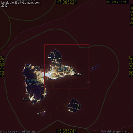
» Earth at Night: Flat Maps 2012, 2016