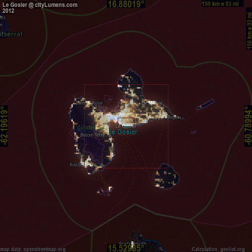
Le Gosier night lights from space
Night Light of Le Gosier (Guadeloupe) from space (Guadeloupe) Src. Average luminocity for 10x10km area is 45.7727% and for 50x50km: 18.4139%.
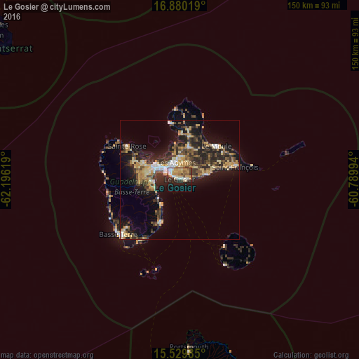
Analysis of Le Gosier night lights 2016
Square area 10x10 km:
 6.82%
6.82%90-99
7.44%80-89
7.64%70-79
15.7%60-69
2.07%50-59
4.55%40-49
4.34%30-39
2.27%20-29
12.4%10-19
21.9%0-9
14.88%Square area 50x50 km:
1.71%90-99
1.76%80-89
3.13%70-79
3.94%60-69
2.04%50-59
1.72%40-49
3.36%30-39
4.06%20-29
6.29%10-19
12.2%0-9
59.78%Clear (daylight) street map image can be seen on geolist.org.
Map coordinates:
16° 52' 48.7" North, 62° 11' 46.3" West
16° 12' 22.2" North, 61° 29' 35" West
15° 31' 47.5" North, 60° 47' 23.8" West
Some cities around Le Gosier sort by population:
• Les Abymes
7.5 km =4.7 mi,  350°
350°
• Baie-Mahault
12 km =7.5 mi,  304°
304°
• Petit-Bourg
10.6 km =6.6 mi,  261°
261°
• Sainte-Anne
12.2 km =7.6 mi,  79°
79°
• Capesterre-Belle-Eau
19.5 km =12.1 mi,  202°
202°
• Pointe-à-Pitre
6 km =3.7 mi,  310°
310°
• Lamentin
16.4 km =10.2 mi, 295°
• Petit-Canal
19.2 km =11.9 mi,  1°
1°
3578978 (p: 28,698)
Sources (retrieved 2019-11-25):
» Earth at Night: Flat Maps 2012, 2016