Sisimiut night lights from space
Night Light of Sisimiut (Qeqqata) from space (Greenland) Src. Average luminocity for 10x10km area is 1.3182% and for 50x50km: 0.0545%.
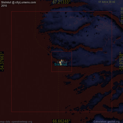
Analysis of Sisimiut night lights 2016
Square area 10x10 km:
 0%
0%90-99
0%80-89
0%70-79
0.32%60-69
0.49%50-59
0.49%40-49
0.32%30-39
0.24%20-29
0.41%10-19
0.24%0-9
97.48%Square area 50x50 km:
0%90-99
0%80-89
0%70-79
0.01%60-69
0.02%50-59
0.02%40-49
0.01%30-39
0.01%20-29
0.02%10-19
0.01%0-9
99.9%Clear (daylight) street map image can be seen on geolist.org.
Map coordinates:
67° 12' 48" North, 54° 22' 35.9" West
66° 56' 22.1" North, 53° 40' 24.6" West
66° 39' 44.9" North, 52° 58' 13.4" West
Some cities around Sisimiut sort by population:
• Nuuk
319.3 km =198.4 mi,  163°
163°
• Iqaluit, CA
772 km =479.7 mi,  242°
242°
• Ilulissat
275.1 km =170.9 mi,  22°
22°
• Qaqortoq
785.3 km =488 mi,  151°
151°
• Aasiaat
199.7 km =124.1 mi,  9°
9°
• Ísafjörður, IS
1343.3 km =834.7 mi,  94°
94°
• Borgarnes, IS
1458.2 km =906.1 mi,  100°
100°
• Keflavík, IS
1456 km =904.7 mi, 102°
3419842 (p: 5,227)
Sources (retrieved 2019-11-25):
» Earth at Night: Flat Maps 2012, 2016