Ilulissat night lights from space
Night Light of Ilulissat (Avannaata) from space (Greenland) Src. Average luminocity for 10x10km area is 0.4258% and for 50x50km: 0.0171%.
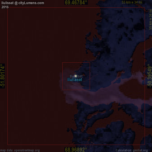
Analysis of Ilulissat night lights 2016
Square area 10x10 km:
 0%
0%90-99
0%80-89
0%70-79
0.3%60-69
0%50-59
0%40-49
0.3%30-39
0%20-29
0.15%10-19
0.15%0-9
99.09%Square area 50x50 km:
0%90-99
0%80-89
0%70-79
0.01%60-69
0%50-59
0%40-49
0.01%30-39
0%20-29
0.01%10-19
0.01%0-9
99.96%Clear (daylight) street map image can be seen on geolist.org.
Map coordinates:
69° 28' 4.2" North, 51° 48' 6.3" West
69° 13' 11.3" North, 51° 5' 55" West
68° 58' 8.1" North, 50° 23' 43.8" West
Some cities around Ilulissat sort by population:
• Nuuk
560.7 km =348.4 mi,  182°
182°
• Akranes, IS
1367.7 km =849.8 mi,  113°
113°
• Iqaluit, CA
977.8 km =607.6 mi,  231°
231°
• Sisimiut
275.1 km =170.9 mi,  202°
202°
• Qaqortoq
974 km =605.2 mi,  165°
165°
• Aasiaat
90.6 km =56.3 mi, 231°
• Ísafjörður, IS
1220.8 km =758.6 mi, 106°
• Borgarnes, IS
1359.7 km =844.9 mi, 112°
3423146 (p: 4,413)
Sources (retrieved 2019-11-25):
» Earth at Night: Flat Maps 2012, 2016