Aasiaat night lights from space
Night Light of Aasiaat (Qeqertalik) from space (Greenland) Src. Average luminocity for 10x10km area is 1.0714% and for 50x50km: 0.045%.
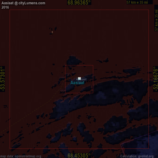
Analysis of Aasiaat night lights 2016
Square area 10x10 km:
 0.71%
0.71%90-99
0.24%80-89
0%70-79
0%60-69
0%50-59
0%40-49
0%30-39
0%20-29
0%10-19
0%0-9
99.05%Square area 50x50 km:
0.03%90-99
0.01%80-89
0%70-79
0%60-69
0%50-59
0%40-49
0%30-39
0%20-29
0.01%10-19
0%0-9
99.95%Clear (daylight) street map image can be seen on geolist.org.
Map coordinates:
68° 57' 49.1" North, 53° 34' 22.8" West
68° 42' 35.3" North, 52° 52' 11.6" West
68° 27' 11" North, 52° 10' 0.3" West
Some cities around Aasiaat sort by population:
• Nuuk
505.8 km =314.3 mi,  174°
174°
• Akranes, IS
1430.8 km =889.1 mi,  109°
109°
• Iqaluit, CA
888.1 km =551.8 mi,  231°
231°
• Sisimiut
199.7 km =124.1 mi,  189°
189°
• Ilulissat
90.6 km =56.3 mi,  51°
51°
• Qaqortoq
944.6 km =586.9 mi,  160°
160°
• Ísafjörður, IS
1290.5 km =801.9 mi,  102°
102°
• Borgarnes, IS
1423.9 km =884.8 mi, 108°
3424901 (p: 3,005)
Sources (retrieved 2019-11-25):
» Earth at Night: Flat Maps 2012, 2016