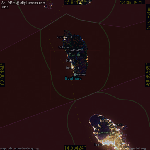
Soufrière night lights from space
Night Light of Soufrière (Saint Mark) from space (Dominica) Src. Average luminocity for 10x10km area is 2.345% and for 50x50km: 0.8769%.
Analysis of Soufrière night lights 2016
Square area 10x10 km:
 0%
0%90-99
0%80-89
0%70-79
0%60-69
0.83%50-59
0.83%40-49
0%30-39
1.65%20-29
0.41%10-19
0.41%0-9
95.87%Square area 50x50 km:
0.03%90-99
0.07%80-89
0.04%70-79
0.23%60-69
0.29%50-59
0.06%40-49
0.05%30-39
0.3%20-29
0.12%10-19
0.15%0-9
98.66%Clear (daylight) street map image can be seen on geolist.org.
Map coordinates:
15° 54' 39.8" North, 62° 3' 43" West
15° 14' 1.5" North, 61° 21' 31.7" West
14° 33' 15.3" North, 60° 39' 20.5" West
Some cities around Soufrière sort by population:
• Roseau
8.2 km =5.1 mi,  337°
337°
• Berekua
4.5 km =2.8 mi,  90°
90°
• Saint Joseph
20.1 km =12.5 mi, 336°
• Wesley
37.3 km =23.2 mi,  6°
6°
• Pointe Michel
3.3 km =2.1 mi,  329°
329°
• Colihaut
30 km =18.6 mi, 338°
• Rosalie
17.8 km =11.1 mi,  33°
33°
• Pont Cassé
14.8 km =9.2 mi,  3°
3°
3575602 (p: 1,416)
Sources (retrieved 2019-11-25):
» Earth at Night: Flat Maps 2012, 2016