Portsmouth night lights from space
Night Light of Portsmouth (Saint John) from space (Dominica) Src. Average luminocity for 10x10km area is 4.3398% and for 50x50km: 0.4698%.
Analysis of Portsmouth night lights 2016
Square area 10x10 km:
 0.43%
0.43%90-99
0.43%80-89
0.87%70-79
0%60-69
0.87%50-59
0%40-49
1.73%30-39
2.6%20-29
0%10-19
0%0-9
93.07%Square area 50x50 km:
0.02%90-99
0.02%80-89
0.03%70-79
0.09%60-69
0.23%50-59
0%40-49
0.08%30-39
0.23%20-29
0.07%10-19
0.07%0-9
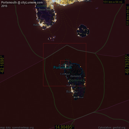
99.18%Clear (daylight) street map image can be seen on geolist.org.
Map coordinates:
16° 15' 34.1" North, 62° 10' 11.3" West
15° 34' 60" North, 61° 28' 0" West
14° 54' 17.8" North, 60° 45' 48.8" West
Some cities around Portsmouth sort by population:
• Roseau
32.4 km =20.1 mi,  164°
164°
• Grand-Bourg, GP
37.2 km =23.1 mi,  25°
25°
• Saint Joseph
20.7 km =12.9 mi,  170°
170°
• Wesley
16.2 km =10.1 mi,  96°
96°
• Pointe Michel
37.3 km =23.2 mi, 164°
• Colihaut
11 km =6.8 mi,  177°
177°
• Rosalie
32.2 km =20 mi,  138°
138°
• Pont Cassé
27.1 km =16.8 mi,  152°
152°
3575654 (p: 3,633)
Sources (retrieved 2019-11-25):
» Earth at Night: Flat Maps 2012, 2016