Pointe Michel night lights from space
Night Light of Pointe Michel (Saint Luke) from space (Dominica) Src. Average luminocity for 10x10km area is 6.2996% and for 50x50km: 0.8891%.
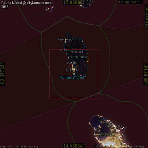
Analysis of Pointe Michel night lights 2016
Square area 10x10 km:
 0.21%
0.21%90-99
0.62%80-89
1.03%70-79
1.45%60-69
0%50-59
0.83%40-49
0.83%30-39
2.89%20-29
0.83%10-19
0.41%0-9
90.91%Square area 50x50 km:
0.03%90-99
0.07%80-89
0.04%70-79
0.23%60-69
0.29%50-59
0.06%40-49
0.05%30-39
0.31%20-29
0.14%10-19
0.15%0-9
98.63%Clear (daylight) street map image can be seen on geolist.org.
Map coordinates:
15° 56' 13.1" North, 62° 4' 39.5" West
15° 15' 35.1" North, 61° 22' 28.3" West
14° 34' 49.2" North, 60° 40' 17" West
Some cities around Pointe Michel sort by population:
• Roseau
4.9 km =3 mi,  342°
342°
• Berekua
6.9 km =4.3 mi,  115°
115°
• Saint Joseph
16.8 km =10.4 mi, 337°
• Wesley
34.7 km =21.6 mi,  10°
10°
• Soufrière
3.3 km =2.1 mi,  149°
149°
• Colihaut
26.7 km =16.6 mi, 339°
• Rosalie
16.6 km =10.3 mi,  44°
44°
• Pont Cassé
12.2 km =7.6 mi, 12°
3575660 (p: 1,202)
Sources (retrieved 2019-11-25):
» Earth at Night: Flat Maps 2012, 2016