Colihaut night lights from space
Night Light of Colihaut (Saint Peter) from space (Dominica) Src. Average luminocity for 10x10km area is 0.8203% and for 50x50km: 1.0285%.
Analysis of Colihaut night lights 2016
Square area 10x10 km:
 0%
0%90-99
0%80-89
0%70-79
0%60-69
0%50-59
0%40-49
0%30-39
1.3%20-29
0.87%10-19
0%0-9
97.84%Square area 50x50 km:
0.05%90-99
0.08%80-89
0.08%70-79
0.23%60-69
0.33%50-59
0.03%40-49
0.12%30-39
0.38%20-29
0.16%10-19
0.15%0-9
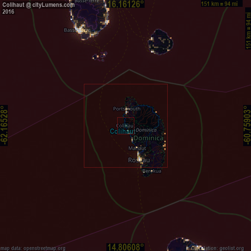
98.4%Clear (daylight) street map image can be seen on geolist.org.
Map coordinates:
16° 9' 40.5" North, 62° 9' 55" West
15° 29' 5.2" North, 61° 27' 43.7" West
14° 48' 21.9" North, 60° 45' 32.5" West
Some cities around Colihaut sort by population:
• Roseau
21.8 km =13.5 mi,  158°
158°
• Portsmouth
11 km =6.8 mi,  357°
357°
• Saint Joseph
9.9 km =6.2 mi, 161°
• Wesley
18.1 km =11.2 mi,  59°
59°
• Soufrière
30 km =18.6 mi, 158°
• Pointe Michel
26.7 km =16.6 mi, 159°
• Rosalie
24.7 km =15.3 mi,  122°
122°
• Pont Cassé
17.8 km =11.1 mi,  137°
137°
3575857 (p: 890)
Sources (retrieved 2019-11-25):
» Earth at Night: Flat Maps 2012, 2016