West Island night lights from space
Night Light of West Island from space (Cocos Islands) Src. Average luminocity for 10x10km area is 0% and for 50x50km: 0%.
Analysis of West Island night lights 2016
Square area 10x10 km:
 0%
0%90-99
0%80-89
0%70-79
0%60-69
0%50-59
0%40-49
0%30-39
0%20-29
0%10-19
0%0-9
100%Square area 50x50 km:
0%90-99
0%80-89
0%70-79
0%60-69
0%50-59
0%40-49
0%30-39
0%20-29
0%10-19
0%0-9
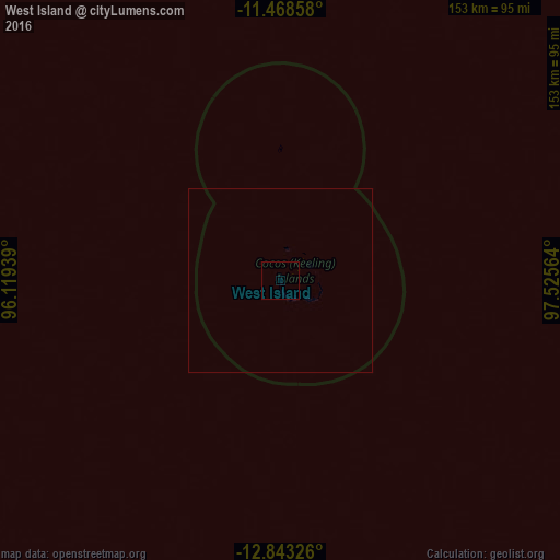
100%Clear (daylight) street map image can be seen on geolist.org.
Map coordinates:
11° 28' 6.9" South, 96° 7' 9.8" East
12° 9' 24.5" South, 96° 49' 21" East
12° 50' 35.7" South, 97° 31' 32.3" East
Some cities around West Island sort by population:
• Bandar Lampung, ID
1190.9 km =740 mi,  51°
51°
• Bengkulu, ID
1105.4 km =686.9 mi,  32°
32°
• Lubuklinggau, ID
1188.6 km =738.6 mi, 34°
• Pagar Alam, ID
1147.5 km =713 mi,  38°
38°
• Lahat, ID
1188.7 km =738.6 mi, 38°
• Curup, ID
1151.5 km =715.5 mi, 32°
• Labuan, ID
1178.5 km =732.3 mi,  56°
56°
• Flying Fish Cove, CX
984.7 km =611.9 mi,  78°
78°
7304591 (p: 120)
Sources (retrieved 2019-11-25):
» Earth at Night: Flat Maps 2012, 2016